Home
Blog
TutorialsEventsProjectsAboutContact
Media archive/FRM K8C3PF
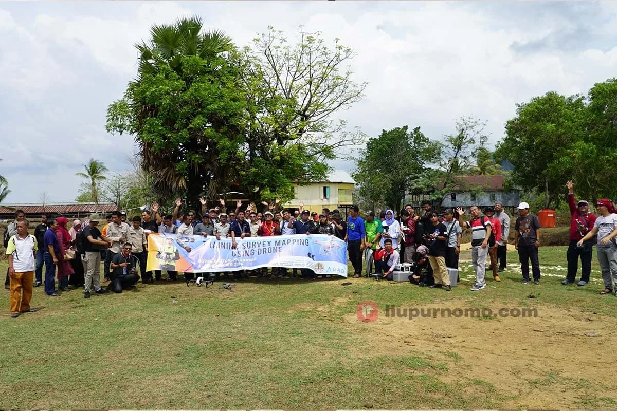
Sekelompok peserta pelatihan pemetaan udara dengan drone berpose di lapangan terbuka memegang spanduk kegiatan pelatihan
FRM K8C3PF1200 × 800
Newer framebpdashl-js-makassar.jpgOlder framebpdashl-js-makassar-2.jpg
Frame logFRM K8C3PF

Suasana kegiatan pelatihan survei dan pemetaan udara menggunakan drone yang diikuti oleh banyak peserta.

Sekelompok peserta pelatihan pemetaan udara dengan drone berpose di lapangan terbuka memegang spanduk kegiatan pelatihan

File
bpdashl-js-makassar-1.jpg
Type
image/jpeg
Size
1200 × 800 px
Weight
217 KB
Logged
22 November 2025
OriginalDownload

Appears in

  • EventInstruktur dalam In House Training Survey Mapping Using Drone
Liu PurnomoCallsign · LPLiu Purnomo

Founder of Drone Indonesia, director of Remote Pilot Indonesia, software engineer, and author of three books on drones.

More about me
seedbacklinkDMCA.com Protection StatusBanner BlogPartner Backlink.co.id

NAVExplore

  • Home
  • Blog
  • Tutorials
  • Events
  • Projects
  • Books & Ebooks

INFAbout

  • About Me
  • Work With Me
  • Contact
  • Guestbook
  • Bio Links
  • Buy Me a Coffee

SYSOthers

  • Changelog
  • Systems
  • Sitemap
  • GSD Calculator
  • QR Code Generator

Flight Briefing · Newsletter

Hand-picked articles, straight to your inbox.

Fresh notes on drones, aviation regulations, and software. Sent only once in a while.

No spam. Unsubscribe anytime with the link in every email.

0927

Tower online · Jakarta (WIB)

© 2026 Liu Purnomo. Some rights reserved.

Privacy PolicyTerms of UseContent Notice
Follow new posts

Unless stated otherwise, writing on this site is licensed under Creative Commons Attribution 4.0 International (CC BY 4.0). You may quote, copy, republish, and cite it, including for commercial use, as long as you credit Liu Purnomo as the author and link to the original article. Third-party photos and materials, logos, and trademarks are excluded. Full terms